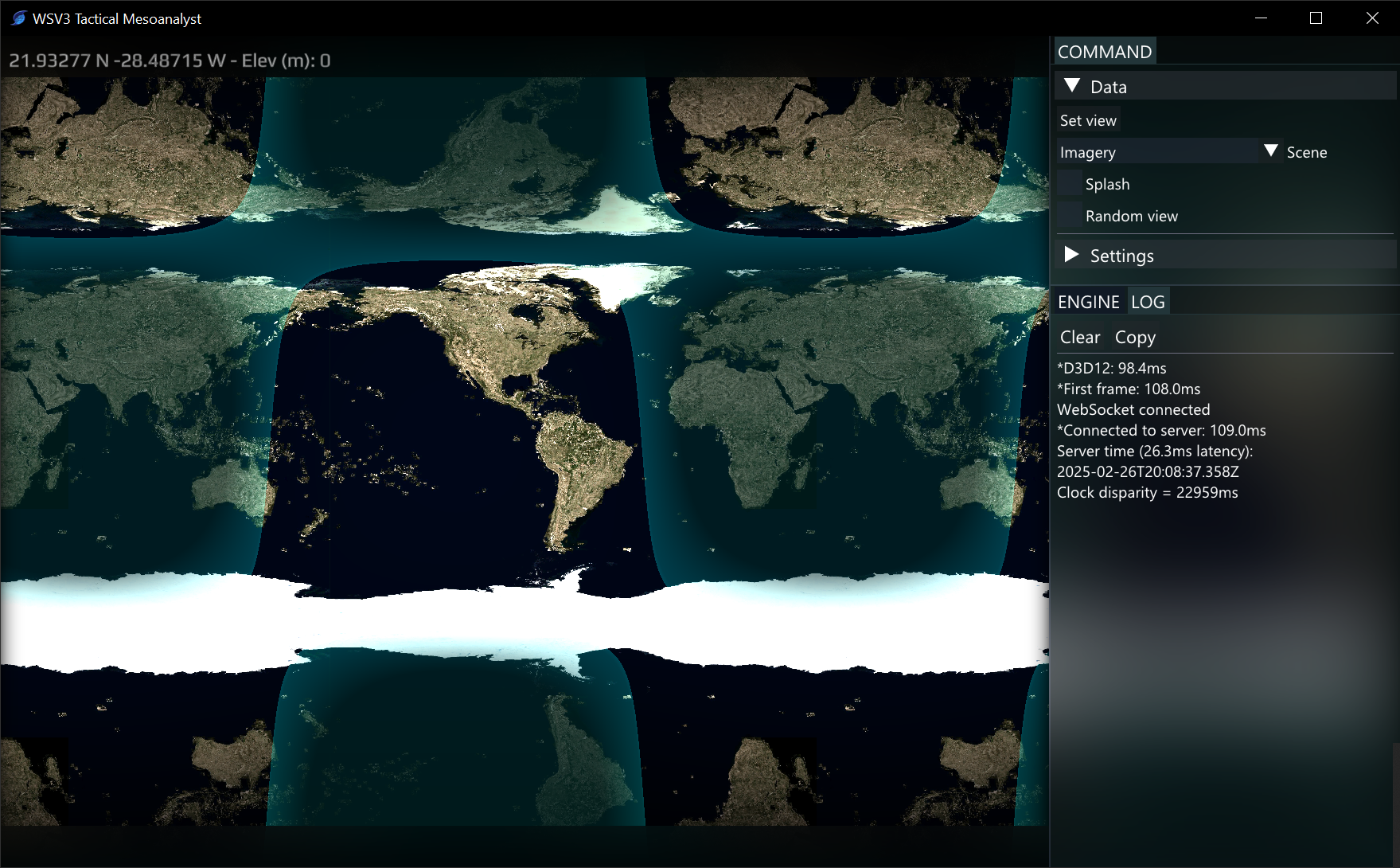
wharris I have not done this yet - I am prioritizing raster engine development first over the vector engine. The vector data mapping engine includes line rendering and handling the specific case for attaching road name info to lines based on the TIGER dataset. I do absolutely intend to have automatic street labeling in Mesoanalyst. Worst case it would be delayed after release because I am prioritizing the RadarHalo Polyradial Mosaic feature (the new flagship radar display innovation, which newly involves privately processing the entire NEXRAD L2 feed at all 150+ sites 24/7 on custom native server processes) as well as applying my hierarchical delta tile compression progressive-loading raster streaming system to the satellite data, where it is needed for visible, and solving the difficult problems of 1) timeseries/looping delta tile raster which load tiles based on view and time and 2) getting the tile engine working for non-equirectangular, projected datasets like model data and GOES-R imagery projection (thankfully MRMS is equirectangular so I am starting the robust raster ingest server-side system with that first)
The new vector engine will be done properly and given full time. The biggest and arguably most value-adding change is the fact that it will all be preprocessed as vector tiles on server and will automatically load when you zoom into any counties in the lower 48, like Google maps, without the user having to load any heavy manual shapefiles. In exchange for that extreme addition of value, I might remove custom shapefile data import in Mesoanalyst or confine it to a workstation license with limits. The whole point of tactical is to reduce resource consumption, operate on a fixed memory budget for eternal uptime, and offer the user what they really want immediately with no setup. Custom data import in general cannot really be in tactical. I did speak of an intended exception for shapefiles, but this actually might not be possible or wise given all the optimizations I am making for it to only download the pre-cooked data. If users want more mapping data that should ideally be added in a built-in way. Or, perhaps a server-based method could be exposed where you upload your shapefile to your account in a web browser interface, which then runs our custom GIS vector tile processor and the data then appears in Mesoanalyst. That would likely be a higher license and not part of the base product.
In summary, Mesoanalyst will blow you away with seamlessly loading CONUS-wide automatic road sign and angled street text labeling like you see in Google maps, GPU-rendered at 120fps and streamed from vector tile server for immediate downloads with zero shapefile config. The vector tiles will be highly compressed and will allow you to operate the map on a low-bandwidth mode where it will only download vector tiles and not raster background like elevation or color imagery. But no, I haven't worked on vector since my 3D terrain projected screenspace SDF line engine I posted screenshots of here last March - April.