NorthAlabamaStormChase The great thing about the idea to do Cartographer before Mesoanalyst is that I can make it available for usage much sooner - later this year for a test phase isn't impossible. Mesoanalyst (late 2025) will have extensive server-side meteorological data services built-in, but for Cartographer, I only need to pay for bandwidth for map data downloading - not dynamic content (besides web-based automatic user settings synchronization across devices).
My goal is to make the base-level Cartographer version available for $10/month. I'm also hoping that I can make a free "graphics test" build which contains mapping data for only a fixed area. $10/month is a lot when there's no dynamic real-time data and competes with "free" Google Earth, Google having an unlimited budget, but as an optional service during development of the full-blown Mesoanalyst product, it might be very helpful for me. Not to mention the ability to test and polish the mapping engine with real customers months before the release of Mesoanalyst. We will see the user demand. I think it could be a very useful tool for map-making and ESRI shapefile work. Increasingly I am seeing the possibility to compete with ESRI ArcGIS as opposed to solely weather programs.
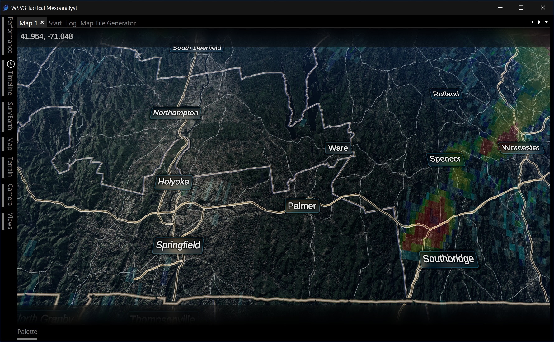
My idea is we as a community can spend 8 solid months creating, polishing, sharing, and testing beautiful customized map styles before the release of WSV3 Tactical Mesoanalyst. So, WSV3 Tactical Cartographer is a limited product focused on driving use case #4 for the next-gen WSV3: aesthetic cartography (see October thread about philosophy for WSV3 next-generation 2025).
Goals for WSV3 Tactical Cartographer:
Initial implementation of the new highly requested floating licensing system supporting VMs and instant cross-device usage. No more activation. I want instant "sign-in" behavior that only prohibits concurrent usage and beyond that is completely unrestricted.
Web-based user account data (settings, maps, etc) synchronization between devices.
Content sharing system: upload your custom maps/styles/palettes and automatically share with other users from inside the software. This will serve as a small-scale implementation for just map styles, but eventually I want Mesoanalyst to extend this to custom weather data content. I firmly believe that, going forward, having a subscription to WSV3 Tactical 2025 should give the user access to an online community of custom weather graphics data content for sharing and instant loading. There currently does not really exist something like this for weather graphics.
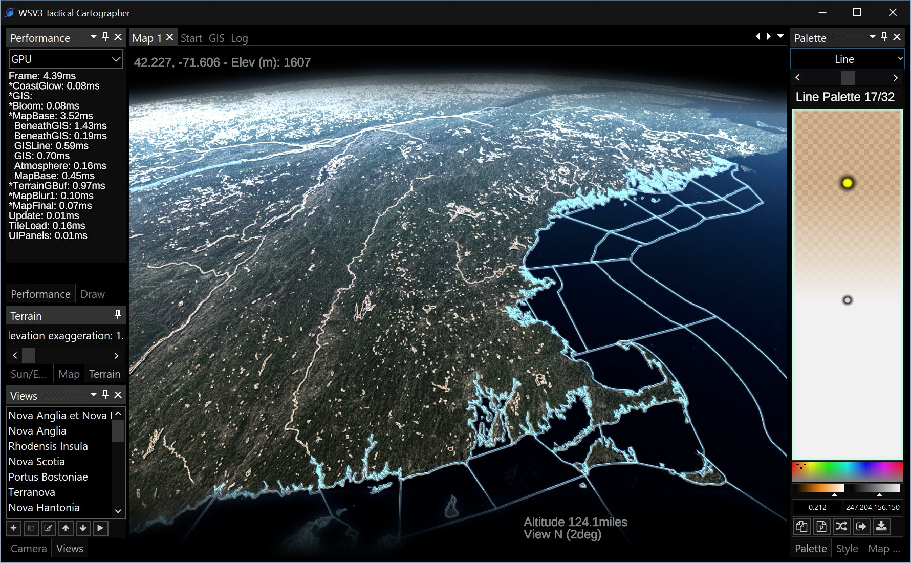
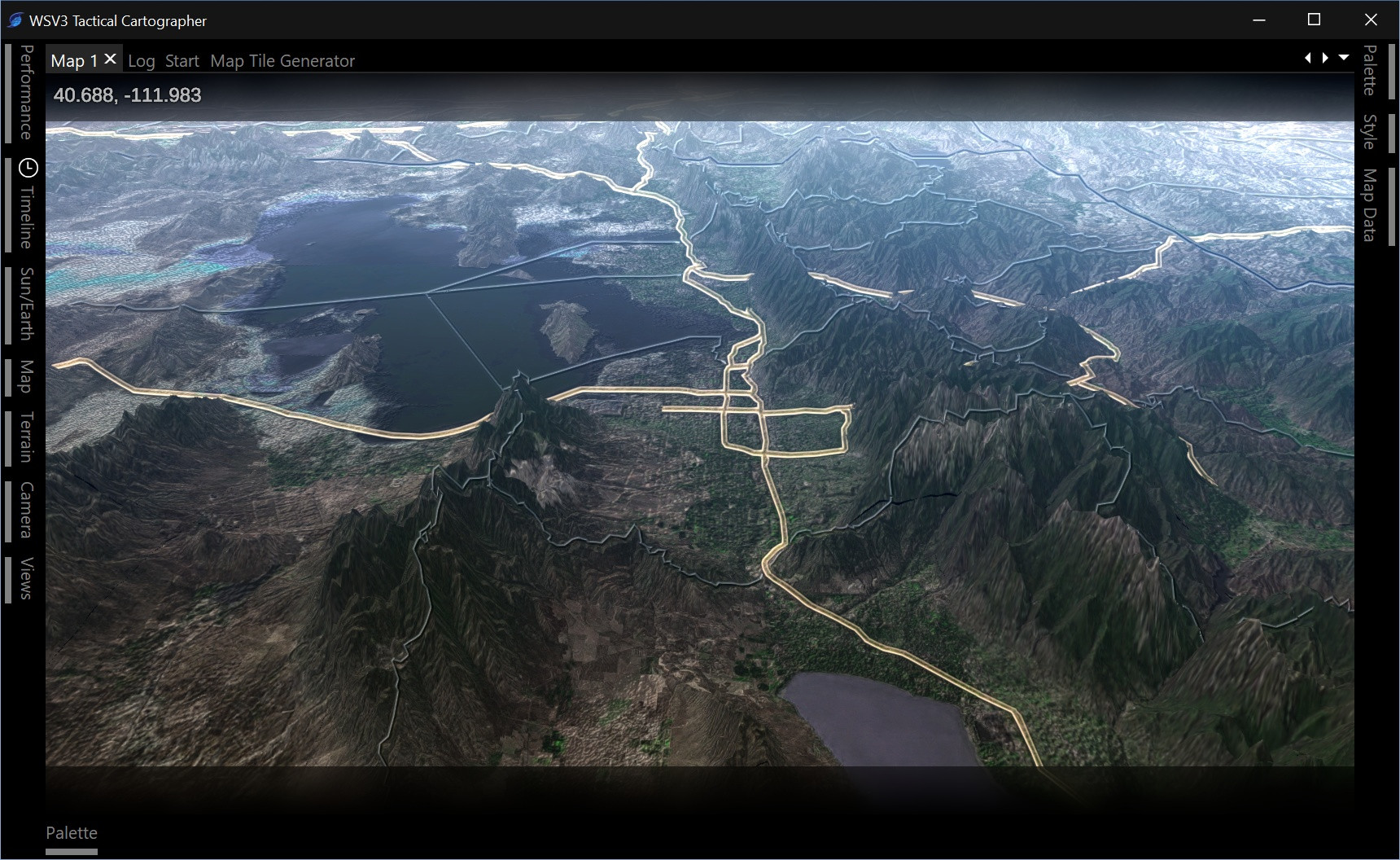
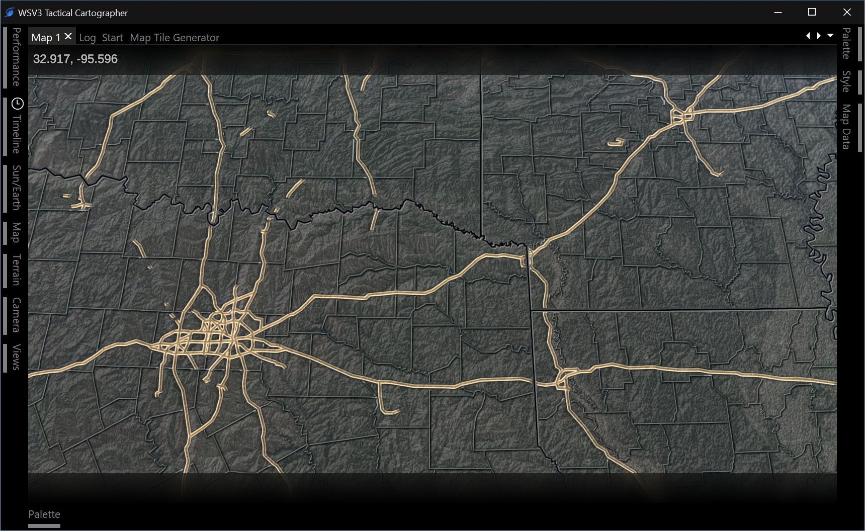
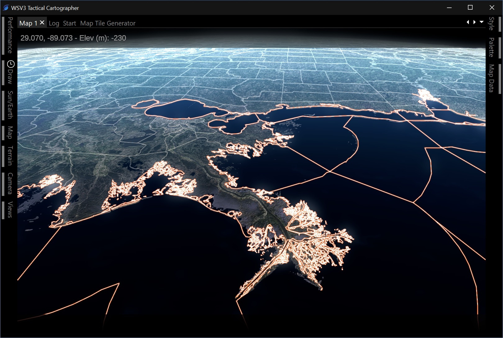
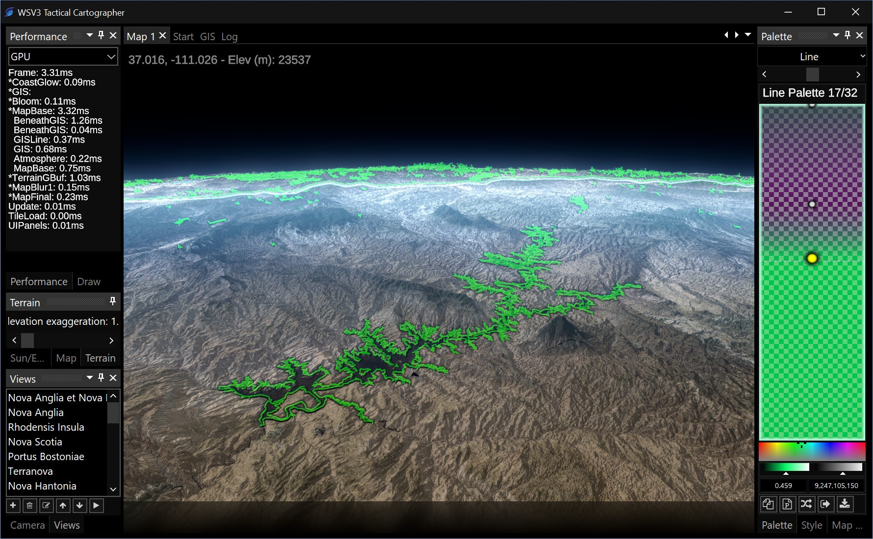
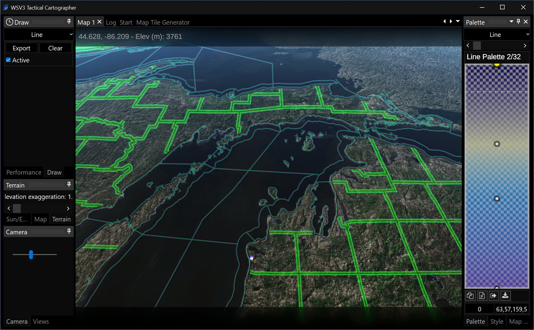
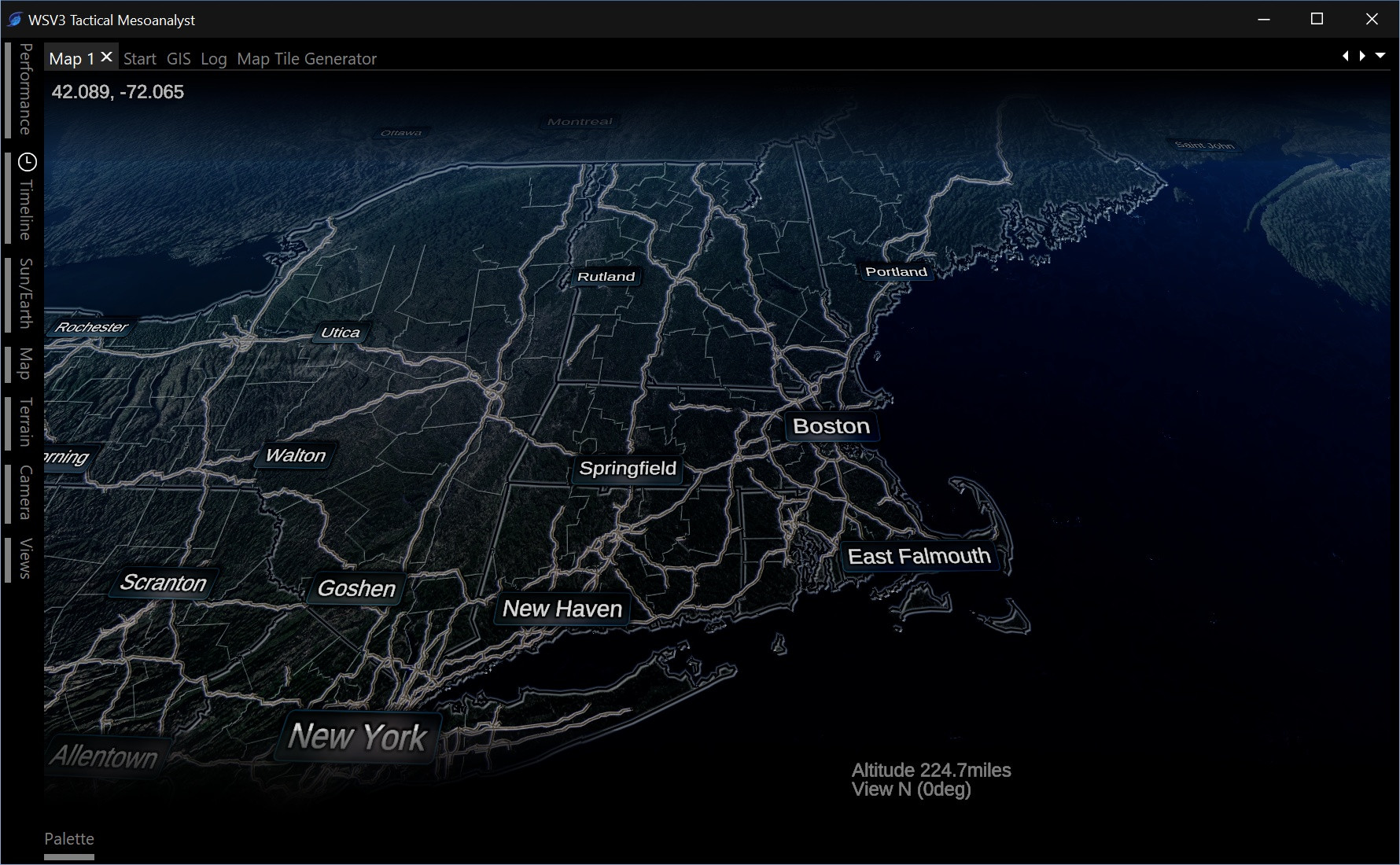
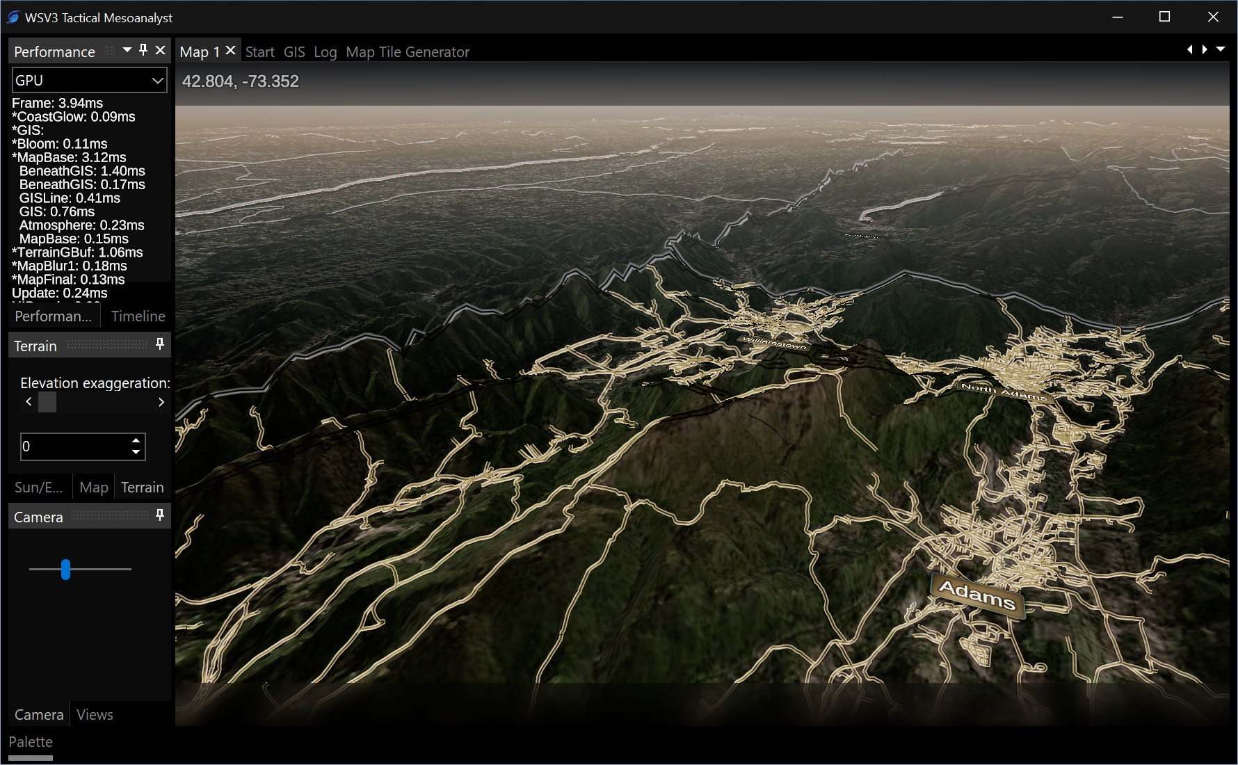
Finish all core rendering engines such as terrain, point, line, polygon, HUD overlay graphics, basic raster display (elevation only for now) with probe/extrema labeling, etc. Volume rendering/animated particle streamline engines I probably tackle next year for Mesoanalyst.
Finish multi-map infrastructure and create UI presets where all frames/map panels' position and layout are instantly reproducible.
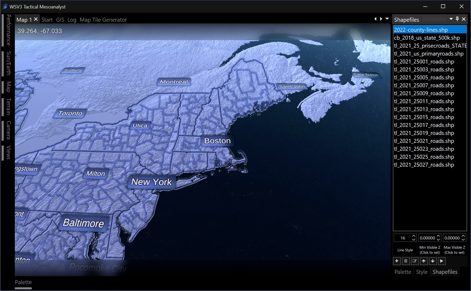
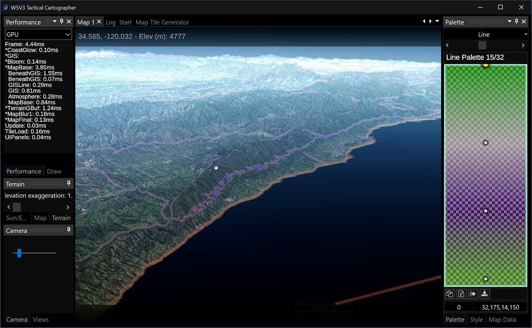
Determine and implement set of GIS features. If the first version is shapefile import/display only, that plants a good seed. We will want more though: measuring tools, shape drawing, shapefile export processing, perhaps even dynamic visual shapefile editing.
Create basic server-side infrastructure capable of serving real-time processed content (such as vector tiles) as opposed to serving solely preprocessed static content. This ability is going to be huge for Mesoanalyst, so I would like to get it working at a basic level for Cartographer. This idea will allow vast amounts of meteorological datasets to be added to Mesoanalyst eventually, because the idea is my servers don't have to continually process everything, but only a high-traffic subset, and have the ability to process and cache less frequently used data on-the-fly to send to client immediately within a few seconds.