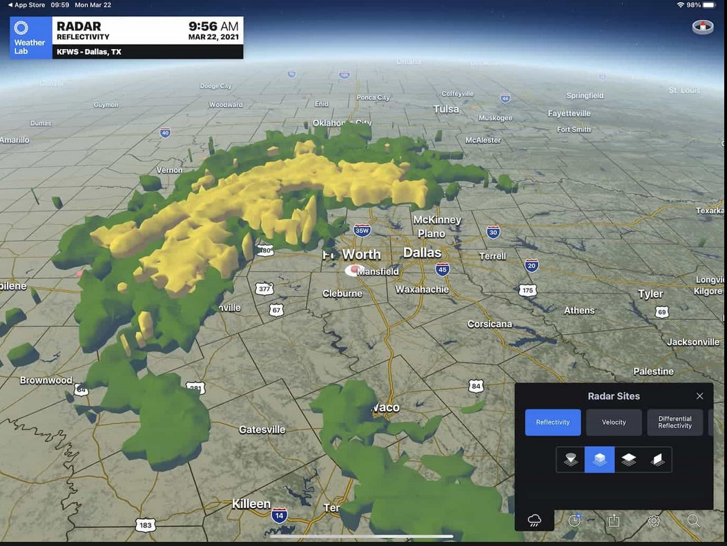
Suburbazine For WSV3 Tactical Mesoanalyst 2025, I intend to tackle both 3D heightmapping of 2D raster datasets (pictured) and traditional 3D volume rendering of 3D raster datasets. I even want to experiment with point-cloud/Gaussian splatting rendering of individual 3D samples, which, to my knowledge, has to this day never been applied to meteorological data display. Based upon the advances in hardware especially at the PC level, it's equally shameful and surprising, myself included, that graphics developers haven't put more effort into making a good consumer-facing solution for real-time 3D radar graphics. We only have a good tool for the local-site scale where GR2AE does an excellent job of volume rendering the incredibly inefficient, huge bandwidth footprint L2 archive format full radar volumes (i.e., downloading 25mb in the field for one frame). You wouldn't believe how many orders of magnitude more efficient those visualizations could be if adaptive voxel octree subdivision were employed in real-time on server for fast streaming to client, especially using a compression scheme which adapts local spatial precision to higher reflectivity areas.
One of my biggest goals is to implement seamless CONUS-wide MRMS volume rendering using the different height reflectivity data. This would require a non-trivial real-time server compression and streaming system, and well as being challenging on the rendering side.
I have decided to focus on WSV3 Tactical Cartographer, the mapping only product, for the rest of 2024, precisely so that I will have enough time to fully research and develop very competent 3D radar display solutions in 2025 for Mesoanalyst.