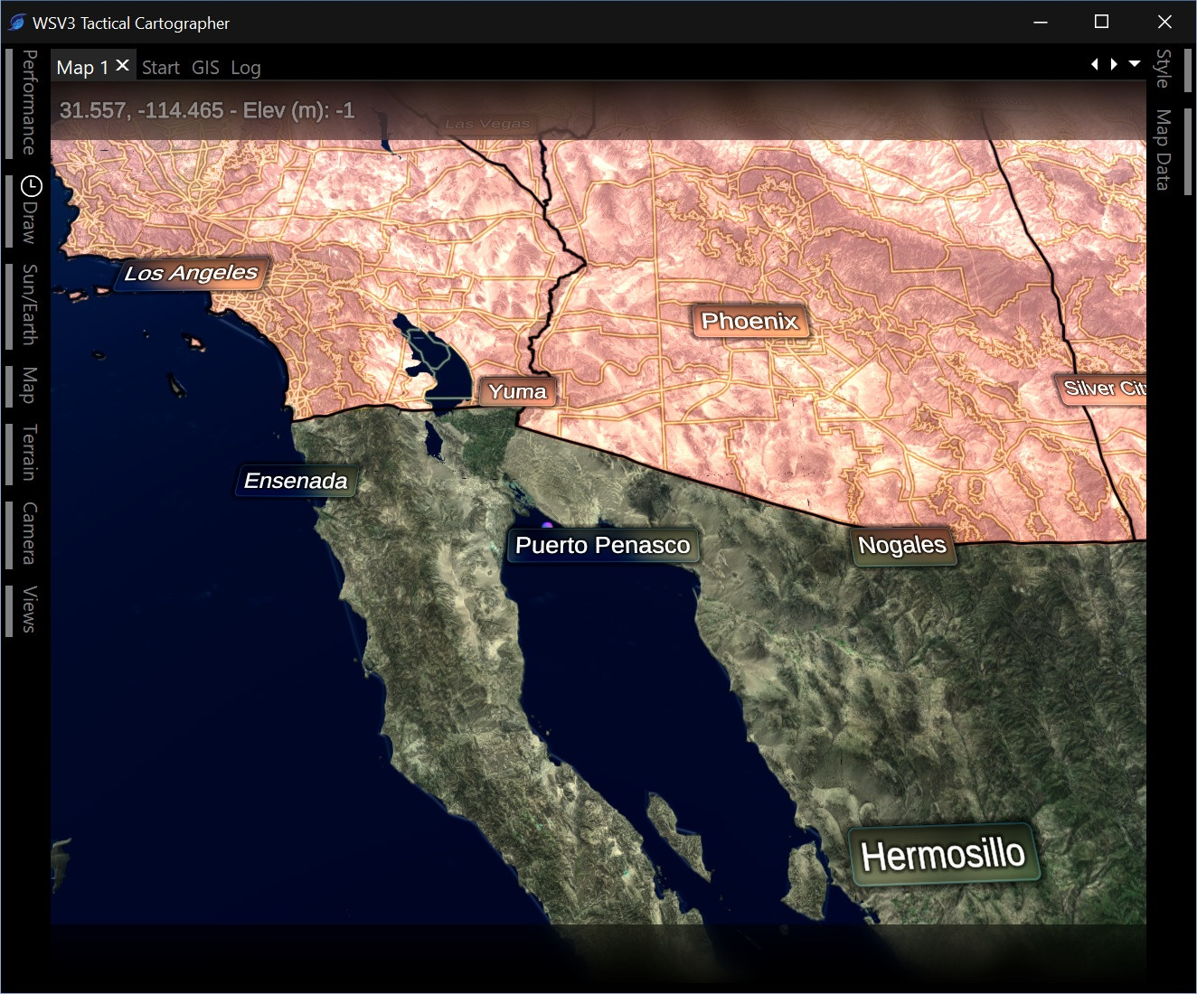
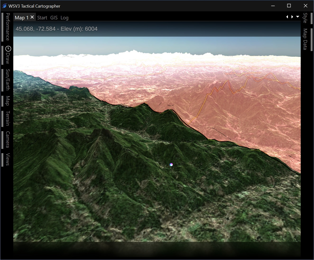
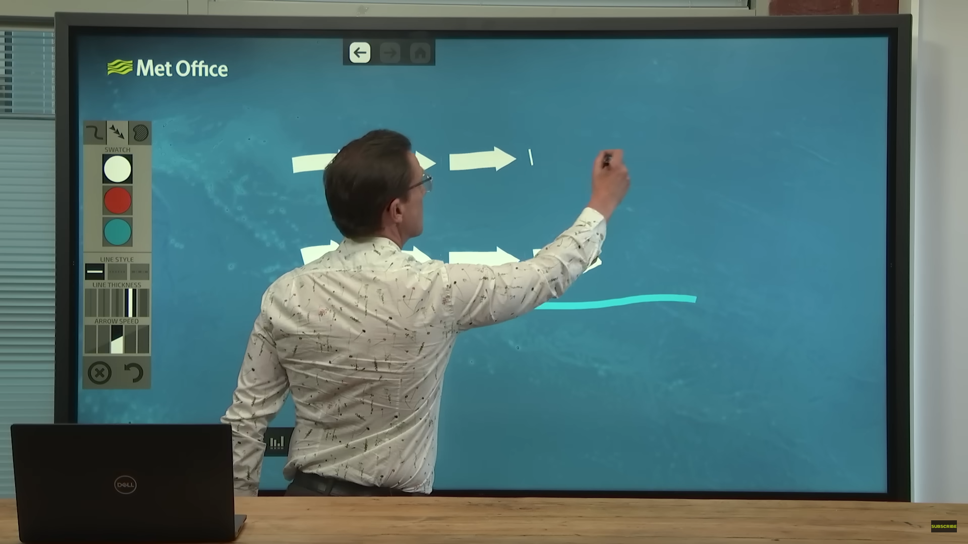
jcline You see, WSV3 Professional never really had any true masking ability at the engine level. What I assume you were doing, and correct me if I am wrong, is overlaying full polygon shapefiles over land/ocean. This is a decent way of approximating masking (if it weren't for the polygon tessellation issues the first-generation WSV3 had), but still suboptimal, because it cancels-out the ocean effect, and imposes a hard transition.
The built-in land/ocean masking needs to have a smooth gradient option like you see on TV. It can also be rendered faster than full polygons if I use a downscaled and/or stencil buffer approach. And for the configurable/additional mask (in addition to land/ocean), making it automatically configurable with the built-in shapefile layers is a huge win for convenience.
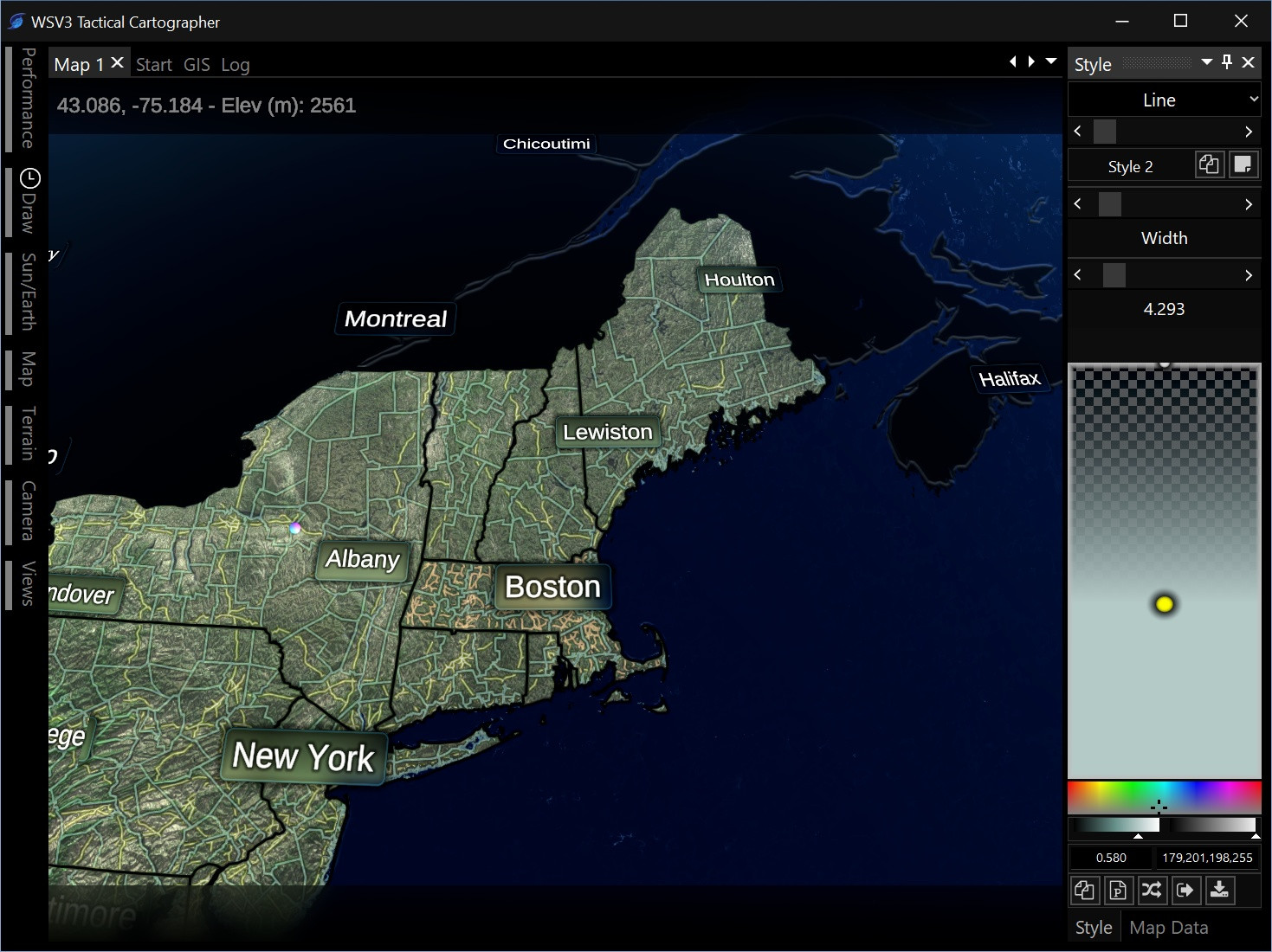
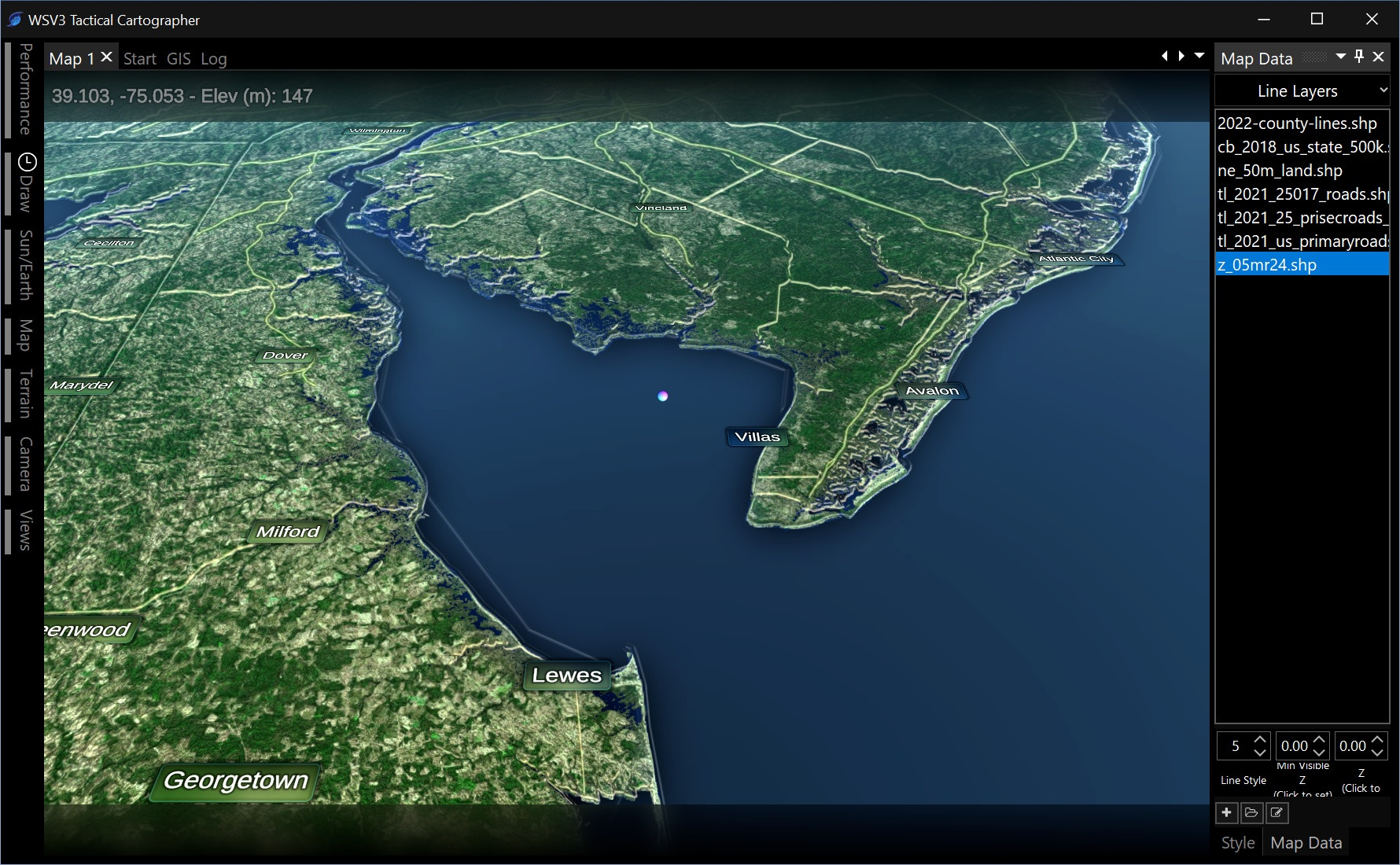
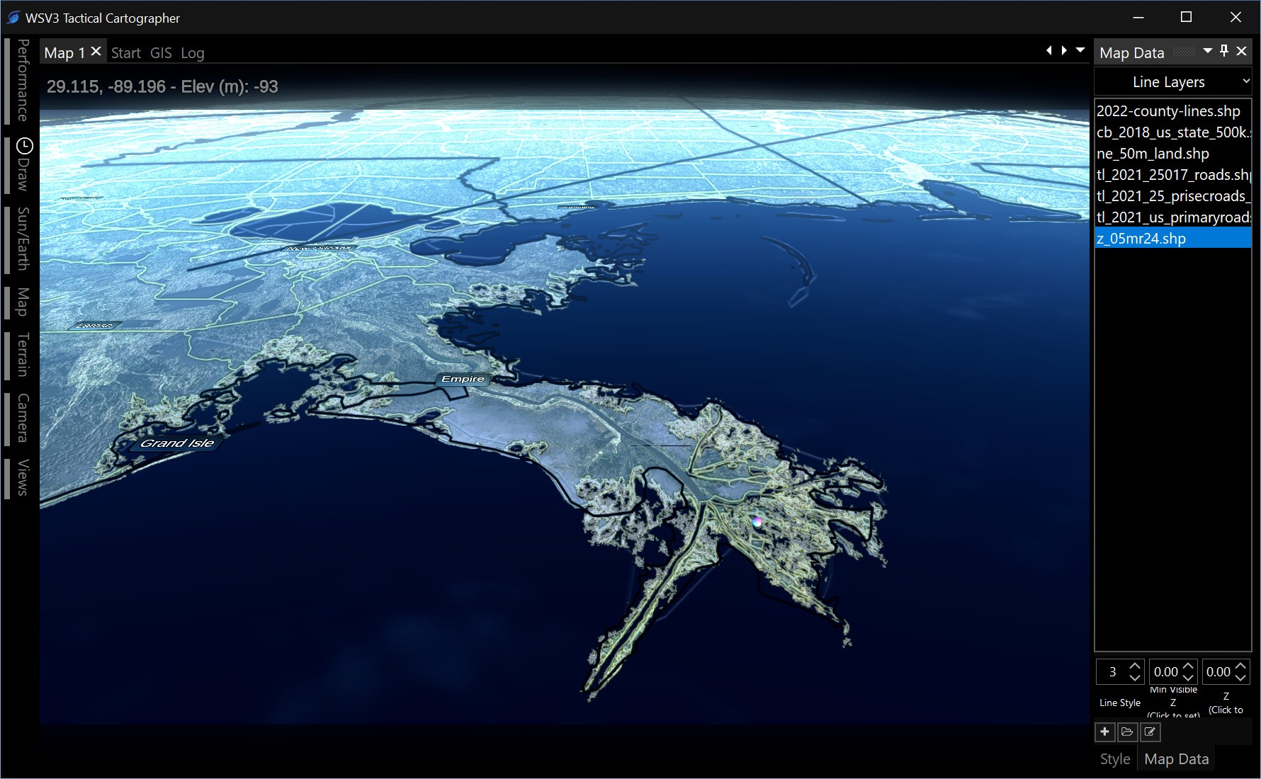
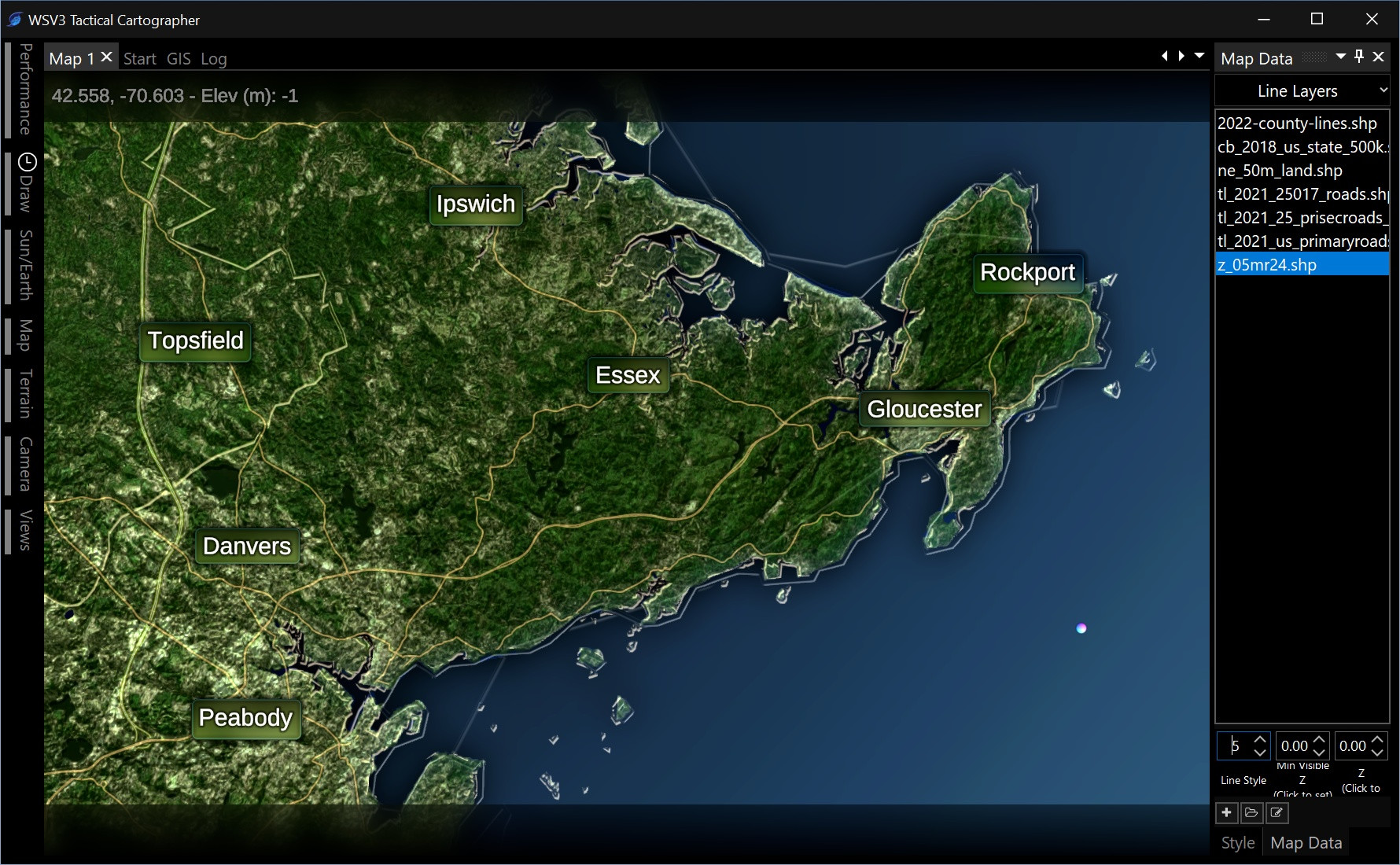
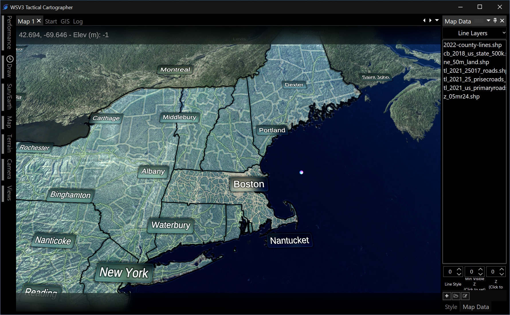
For the vector engine, I have created the following distinctions in my head. The first system is the generic point, line, and polygon shapefile engine. This is where users can import custom mapping data. I am developing this first. Line is pretty much done, apart from the styling/rendering aspects. However, by default, I want this "user map data" system to have 0 layers. (Maybe an international borders shapefile, but not for the basic core CONUS-focused mapping data).
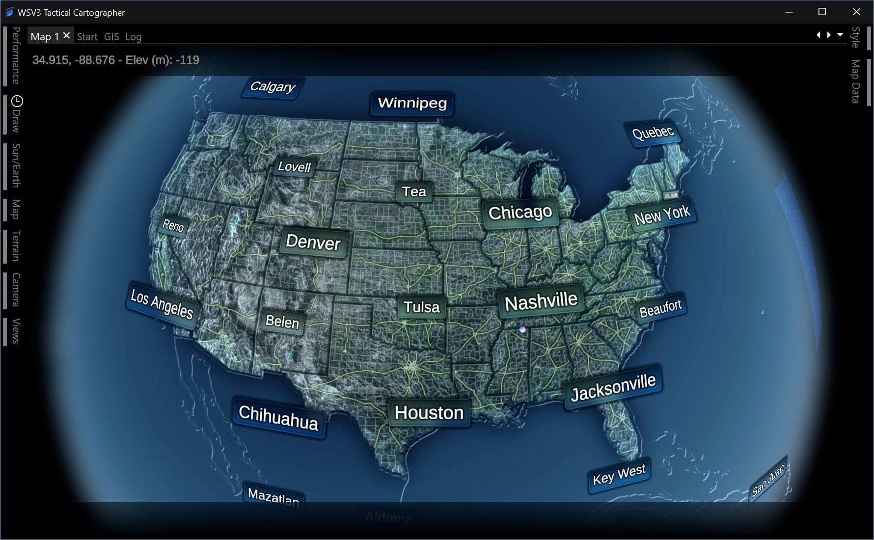
A second, embedded system will be built on top of this for the default mapping layers. I envision this being all preprocessed into vector tiles on server. You will zoom anywhere in the country and it will automatically download country, state, county/forecast zone boundaries, and interstate, state highway, and local street data for road lines. This will all be based on the NWS Forecast Zones shapefiles and TIGER line data - nothing else. These public domain datasets have all the metadata we need for road signs, road names, state/county names, forecast zones, FIPS codes, etc. From them, using the DBF information, the specific functionality for road labeling, road signs, and even state/county names can be implemented in an embedded way. This makes the core use case work perfectly out of the box and allows users to import their own shapefiles in a separate and non-conflicting system. "GISLayers.dat" was an absolute nightmare. It will now automatically load any valid files from a well-defined user map data folder. It also adds tremendous value to have national scale streaming vector tiles - automatic zoom-anywhere local street data for the entire country, something not possible if the full shapefiles needed to be loaded into RAM. This is ambitious but it's my intention to pull it off.
Got a little off-topic from polygon rendering and masking, but that is all a fancy way of saying I am taking a full year to create an entire mapping product which can do just the NWS Advisories layer properly, and roads. Those two essentials provide a clear and guiding development purpose case for the entire vector aspect of WSV3 Tactical Cartographer. The vector mapping is where WSV3 always shined ever since the 2017 GIS engine in WSV3 Professional, which has held up well to this day. It is still in use even in the V6P experimental build. Now the next-generation product will take it even further with 3D terrain projected lines, screenspace extruded lines, terrain projected polygons, and street labeling. That is the goal.
Then in 2025, it will be refreshing to have such a solid mapping basis upon which on the meteorological data services and algorithms, particularly relating to fast, compressed raster dataset streaming, can be built for Mesoanalyst.